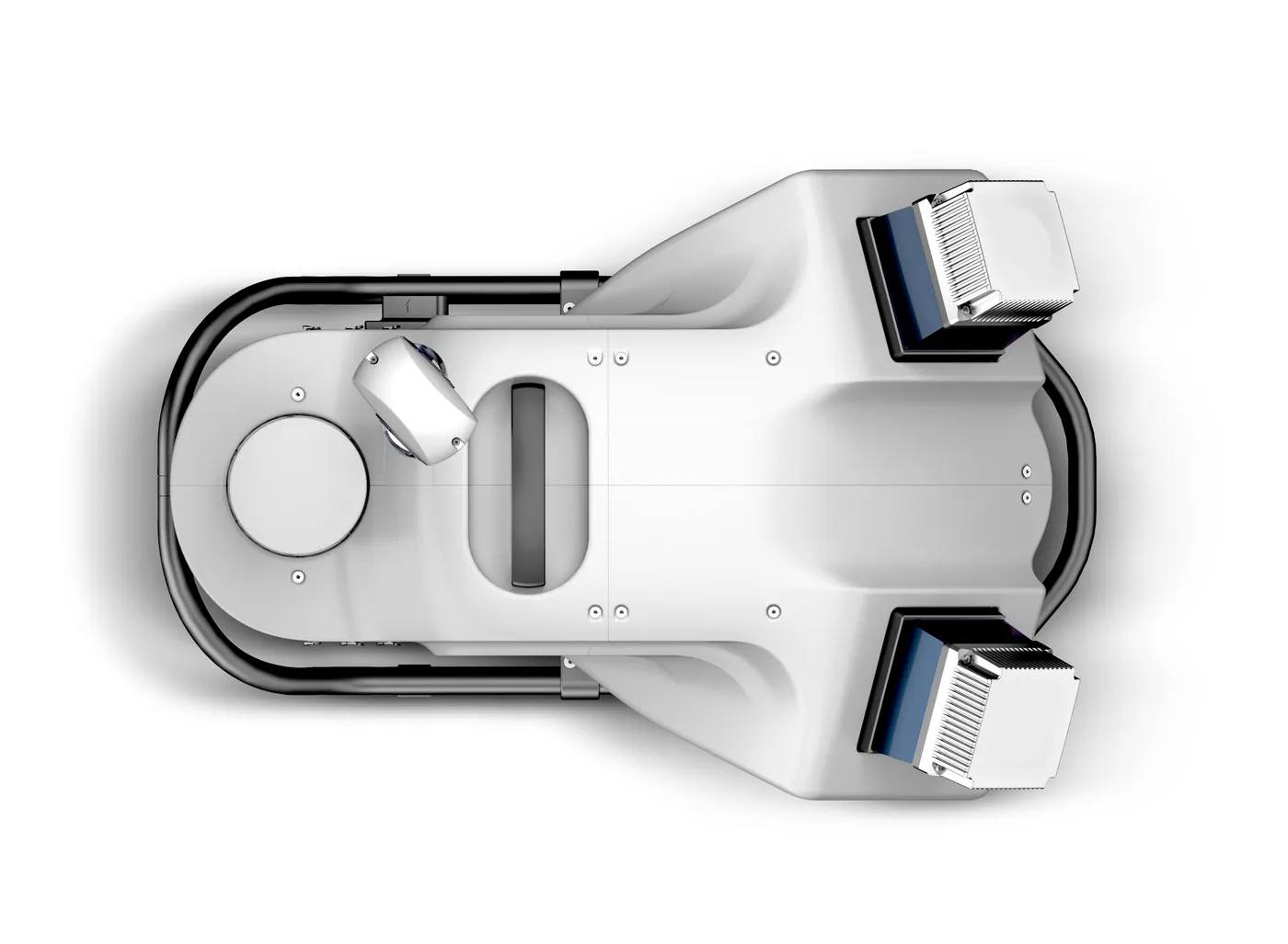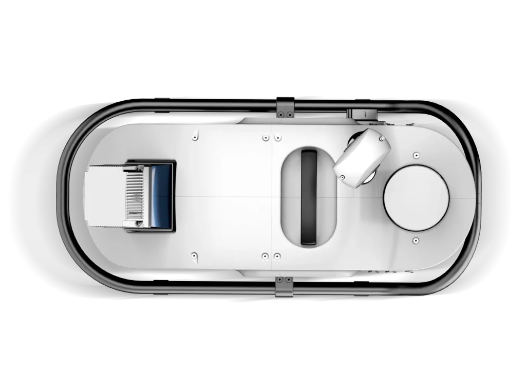
The Leica TRK Series represents the latest evolution in mobile mapping innovation, combining powerful LiDAR scanning, AI-enhanced imaging, and seamless automation for unmatched efficiency in large-scale 3D data capture. Designed for professionals who demand speed, accuracy, and reliability. the TRK family adapts to every mapping challenge, from urban streets to rural networks and industrial sites.
TRK100 – Compact Power
– Lightweight, cost-effective entry point into mobile mapping.
– Ideal for utility surveys, asset management, and corridor mapping.
– Provides precise LiDAR data and 360° imagery.
– Compact, easy-to-deploy design suitable for single-operator use.
TRK300 – Performance and Flexibility
– Delivers higher point density for detailed 3D mapping.
– Extended LiDAR range enabling accurate capture at highway speeds.
– Dual-camera system for enhanced imaging and documentation.
– Robust navigation technology for reliable positioning and data quality.
– Ideal for infrastructure documentation and professional GIS applications.
TRK EVO – Intelligent Automation
– Advanced automation and AI-based processing for streamlined workflows.
– Enhanced LiDAR performance for higher accuracy.
– Smart image capture that improves data quality.
– Minimizes operator input for faster, more efficient fieldwork.
– Ideal for large-scale and multi-environment mobile mapping projects.
TRK NEO – The Flagship of Mobile Mapping
– Flagship system with maximum performance for demanding mobile mapping projects.
– Dual LiDAR sensors for ultra-dense, survey-grade data capture at highway speeds.
– AI-driven object recognition for smarter, automated feature extraction.
– Ultra-high-resolution imaging for detailed, accurate visual documentation.
– Seamless integration with Leica Pegasus OFFICE for streamlined processing.
– Compatible with Reality Cloud Studio for fast cloud-based visualization and collaboration.
Key features
- Ultra-fast LiDAR scanning up to 2M pts/sec.
- 360° HDR panoramic cameras.
- AI-powered data automation and object detection.
- Compact, lightweight systems for easy installation.
- GNSS + IMU + SLAM fusion for consistent accuracy.
- End-to-end workflow integration with Leica software.
- Enables surveyors, engineers, and mapping professionals to capture large-scale 3D data faster, smarter, and with higher accuracy.
- Geoxpert provides full Leica TRK model selection, system configuration, and expert support for a complete mobile reality capture solution.