
DJI
Matrice 4 RTK
Precision and Power for Professional Surveying
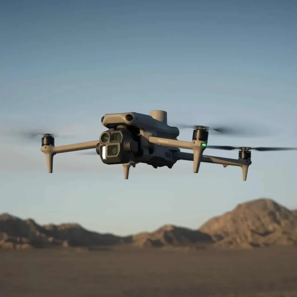
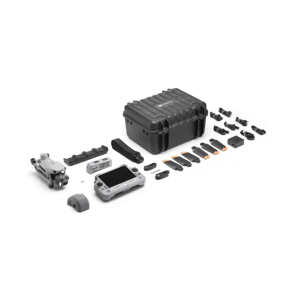
The DJI Matrice 4 RTK is a next-generation industrial drone designed for surveying, construction, and infrastructure inspection.
- RTK-enabled GNSS for centimetre-level positioning accuracy.
- Advanced flight systems designed for stability in complex environments.
- Supports multiple payloads including LiDAR, high-resolution cameras, and multispectral sensors.
- Ideal for topographic surveys, photogrammetry, and large-scale inspections.
- Ensures reliable, repeatable, and precise results across challenging sites.
- Robust, industrial-grade airframe built for harsh field conditions.
- Obstacle avoidance and redundant safety systems for secure operation.
- Extended flight time enabling efficient coverage of large areas.
- Autonomous mission planning via DJI Pilot or compatible third-party software.
- Seamless integration with photogrammetry and GIS platforms.
- Provided by Geoxpert as a complete solution with accessories, training, and technical support.