GeoXpert

Detection Systems

Advanced radar systems for subsurface imaging

See beneath the surface with Leica and IDS GPR technology. Geoxpert offers advanced radar systems that provide detailed subsurface imaging - critical for utility detection, archaeology, and construction.

Book a call

Leica
DS4000

Precision Subsurface Mapping Made Easy
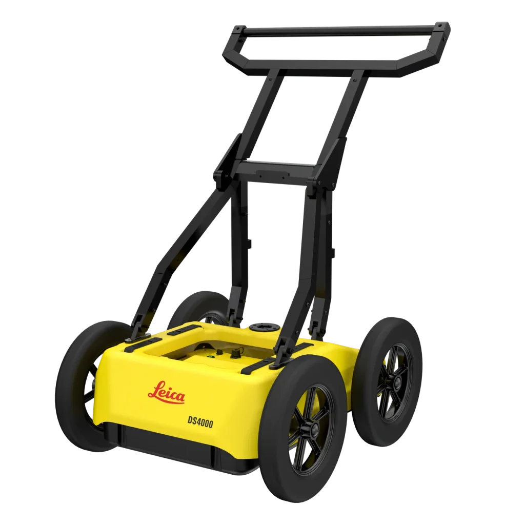
The Leica DS4000 GPR delivers precise detection of underground structures, utilities, and anomalies.

  • High-resolution GPR imaging for accurate subsurface detection.
  • Locates pipes, cables, voids, and underground anomalies with confidence.
  • Rugged, ergonomic design built for demanding field conditions.
  • Portable and lightweight for efficient single-operator use.
  • User-friendly interface for fast setup, data capture, and interpretation.
  • Seamless integration with Leica software for processing, analysis, and reporting.
  • Ideal for construction, utilities, geotechnical, and survey environments.
  • Enhanced safety and reduced risk in excavation and project planning.
  • Supported by Geoxpert with accessories, training, and expert assistance for complete workflow efficiency.
View product: Leica DS4000


IDS
GeoRadar Chaser XR

Advanced Ground Penetrating Radar

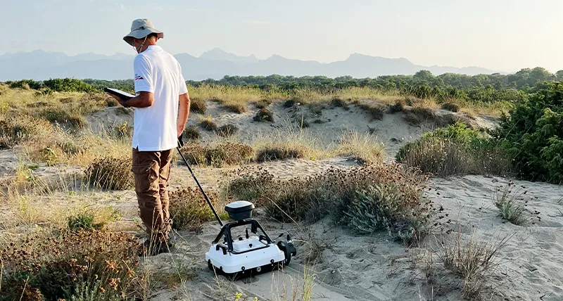
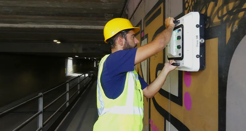
The IDS GeoRadar Chaser XR delivers precise, high-resolution subsurface detection for utilities, voids, and underground structures. Rugged, portable, and easy to use engineered for professional surveying and construction workflows.

  • High-performance Ground Penetrating Radar (GPR) system for civil engineering, construction, and geospatial applications.
  • Accurately detects buried utilities, voids, and underground features with high-resolution radar imaging.
  • Rugged and ergonomic industrial design for reliable use in demanding field environments.
  • Lightweight and portable for easy single-operator deployment.
  • Intuitive, user-friendly interface for rapid setup and fast field operation.
  • Compatible with IDS software suite for efficient processing, visualization, and reporting of subsurface data.
  • Ideal for construction, civil engineering, utility mapping, and professional survey workflows.
  • Provided by Geoxpert as a complete turnkey solution with accessories, training, and full technical support.

View product: IDS GeoRadar Chaser XR


Book a call to learn more