
GeoXpert

Levels

Simple to Use. Impossible to Beat.

Experience next-level precision with Leica digital levels. Geoxpert offers advanced instruments that deliver quick, easy-to-read results for all surveying needs.

Book a call

Leica
LS10

Leica Digital Level LS10 – Fast, Accurate Digital Levelling

The Leica Digital Level LS10 is a high-precision instrument designed for surveyors and construction professionals who require rapid, reliable height measurements with digital accuracy. Compact, rugged, and intuitive, it delivers consistent results for both field and construction applications.
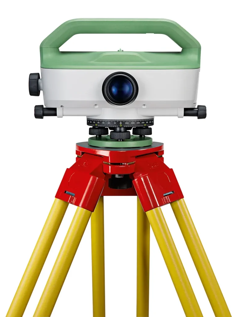
The Leica LS10 Digital Level combines advanced digital measurement technology with Leica’s proven optics and compensator system. It allows quick setup, automated readings, and highly accurate height measurements, reducing manual reading errors and increasing productivity on site.

Its robust construction protects the instrument from dust, moisture, and impacts, making it ideal for demanding environments. The LS10’s ergonomic design and intuitive interface simplify field operations, while precise digital data capture ensures repeatable and reliable results.

Whether used for construction leveling, topographic surveys, or infrastructure projects, the Leica LS10 Digital Level provides surveyors and engineers with high-accuracy, efficient, and reliable measurements.

Why It Matters: Accurate leveling is critical to maintaining project quality and efficiency. The Leica LS10 Digital Level reduces human error, speeds up workflows, and ensures dependable results. At GeoExpert, we provide Leica digital levels like the LS10 to deliver precision, reliability, and confidence for every project.
Leica
LS15

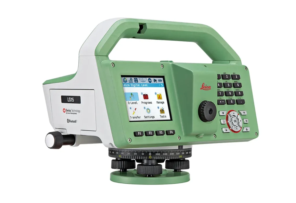
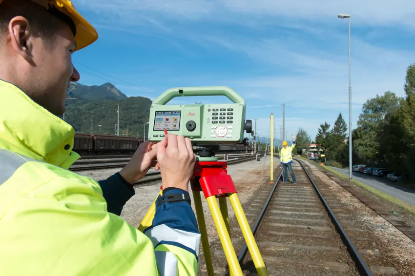
Leica LS15 – Advanced Digital Level for High-Precision Surveying

The Leica LS15 is a professional digital level designed for surveyors and construction professionals who require fast, accurate and reliable height measurements. Rugged, portable, and intuitive, it delivers consistent results in a wide range of field conditions.

The Leica LS15 combines advanced digital measurement technology with Leica’s proven optical and compensator systems. It allows rapid setup, automated readings, and highly precise height measurements, minimizing human error and improving productivity on site.

Built for demanding environments, the LS15 features robust, dust- and moisture-resistant construction. Its ergonomic design and user-friendly interface make field operations straightforward, while precise digital data capture ensures reliable and repeatable results.

Whether used for infrastructure projects, construction leveling, or topographic surveys, the Leica LS15 Digital Level delivers accurate, efficient, and dependable measurements for professional surveyors and engineers.

Why It Matters: Accurate leveling is critical for project quality and efficiency. The Leica LS15 ensures quick, precise measurements, reducing errors and improving workflow on every site. At GeoExpert, we provide trusted Leica digital levels like the LS15 to support reliable, professional-grade results for every project.


Book a call to learn more