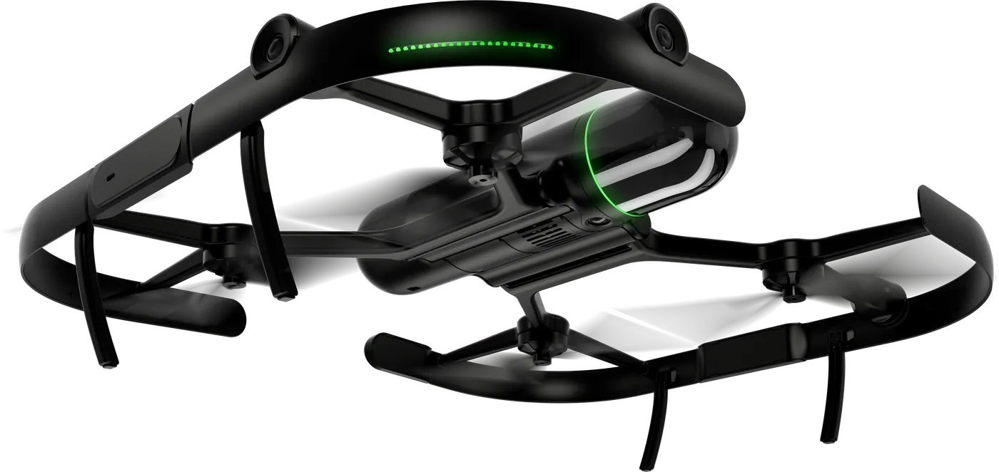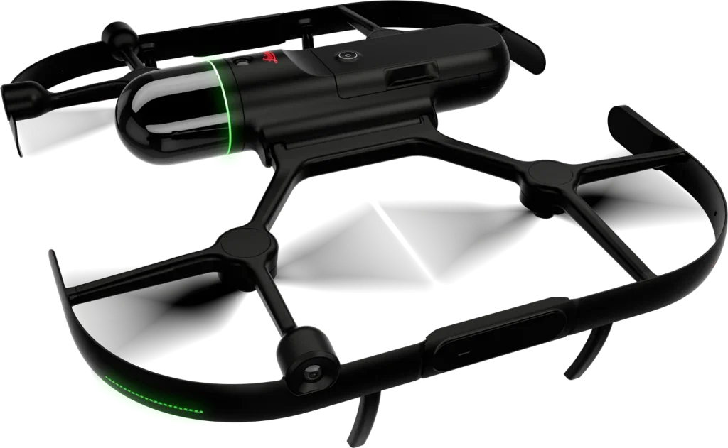
The Leica BLK2FLY revolutionizes reality capture by taking 3D laser scanning to the skies. It’s the world’s first fully autonomous flying laser scanner.
Key features
- Enables fast, precise, and safe capture of complex structures, façades, and environments without manual flight control.
- Equipped with advanced LiDAR, vision, and GNSS technology for autonomous navigation and obstacle avoidance.
- Maps buildings and landscapes from every angle with high-resolution 3D point clouds and colour imagery.
- Autonomous flight scans at the push of a button with no pilot required.
- 360° LiDAR sensor capturing up to 420,000 points per second.
- Integrated high-resolution cameras for fully colorized point clouds.
- Obstacle-avoidance system with full environmental awareness.
- Up to 30 minutes of flight time per charge.
- Portable and lightweight design deployable anywhere within minutes.
- Direct integration with Leica Cyclone REGISTER 360 PLUS, Reality Cloud Studio, and Autodesk ReCap.
- Wireless data transfer and automatic cloud synchronization.
- Ideal for capturing tall buildings, roofs, bridges, and complex industrial sites safely and efficiently.
- Provided by Geoxpert as a turnkey solution with setup, training, and technical support.