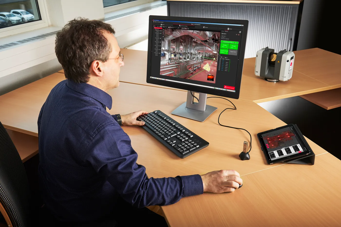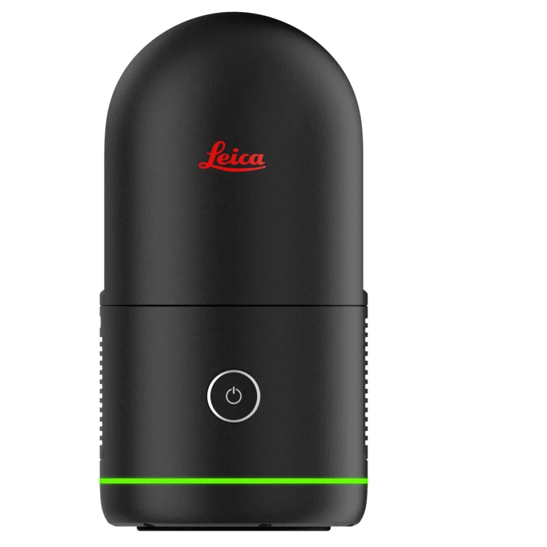
The Leica RTC360 is the high-performance 3D laser scanner built for professionals who demand accuracy and speed. Capture, visualize, and register detailed 3D data automatically faster than ever before.
Key features
- High-speed, high-precision terrestrial laser scanner for surveyors, engineers, and construction professionals.
- Captures complete 3D environments in seconds with millimeter accuracy and minimal setup.
- Leica VIS (Visual Inertial System) automatically tracks movement between setups.
- Automatic in-field point cloud alignment for faster, smarter workflows.
- Instant scan visualization and verification via Cyclone FIELD 360 app.
- Capture rate up to 2 million pts/sec.
- Range up to 130 m.
- Accuracy 1.9 mm at 10 m.
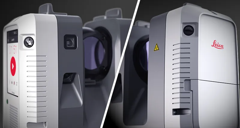
- Full-dome HDR imaging with 3 integrated cameras.
- Compact and lightweight at 5.35 kg including battery.
- Complete dome scan + images in under 2 minutes.
- IP54 rugged protection for tough field environments.
- Seamless integration with Leica Cyclone REGISTER 360 and CloudWorx.
- Ideal for documentation, construction progress tracking, BIM, and complex infrastructure projects.
- Streamlines scanning, registration, and final deliverables for maximum efficiency.
- Provided by Geoxpert as a complete, authorized Leica solution with setup, training, accessories, and expert support.